|
›|
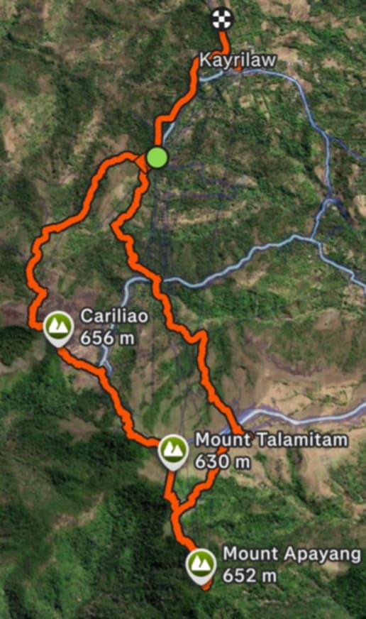
Click to view full trail
Strava Trail Snapshot by Kevin Escaño Resurreccion
Trail Map
The Mountains
...
Moderate
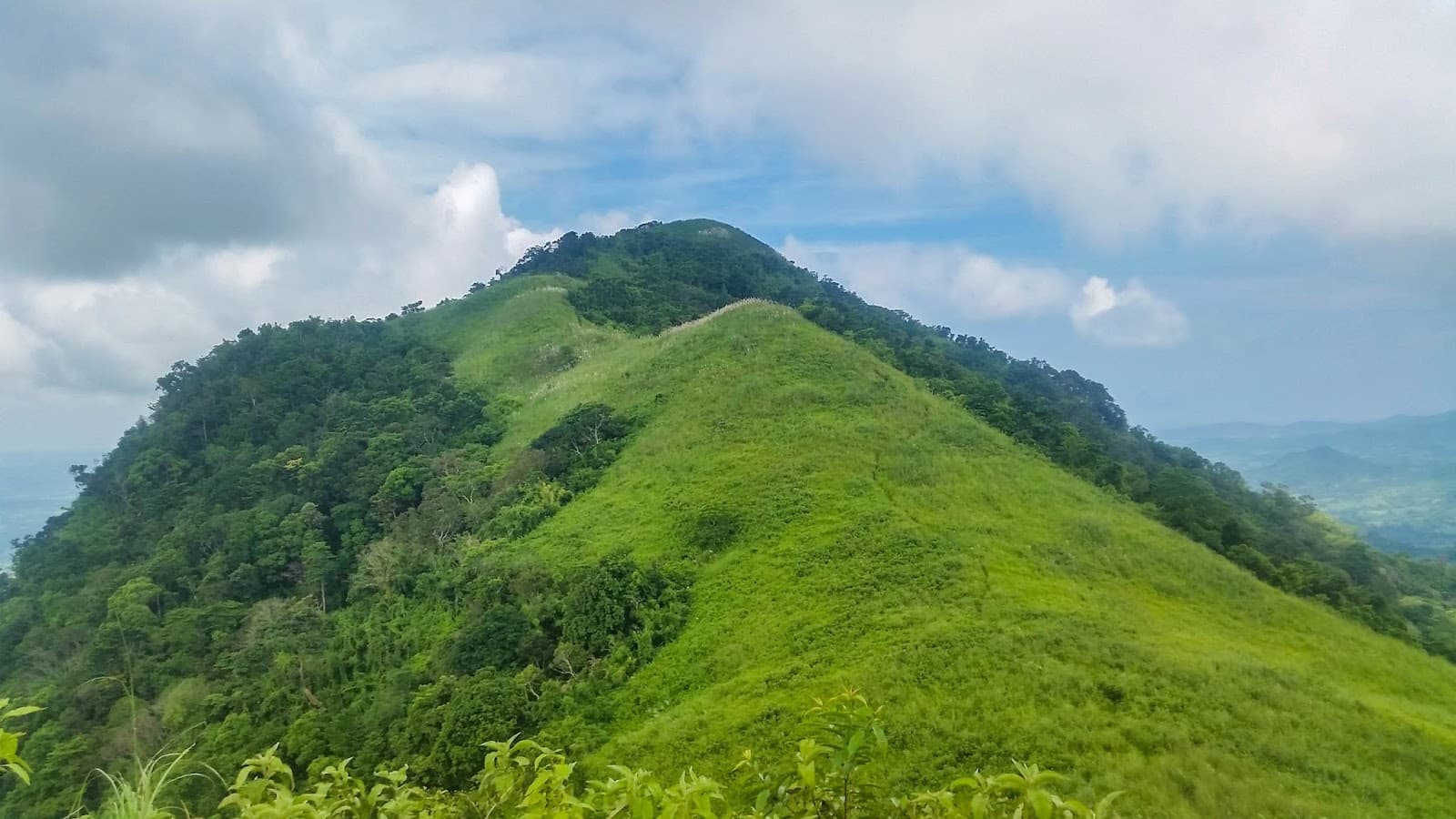
Mt. Apayang
New(0)
Standing at ~661 MASL, Mt. Apayang is often hiked as a twin day-hike with Talamitam. It features rocky formations and scenic views of the surrounding plains.
Nasugbu, Batangas
...
Moderate
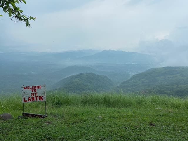
Mt. Lantik
5.0(1)
The namesake of Project TLNTIK. At 652 MASL, it is the lowest of the trilogy. It features rocky trails and a more forested environment compared to its neighbors, offering a distinct challenge.
Nasugbu, Batangas
...
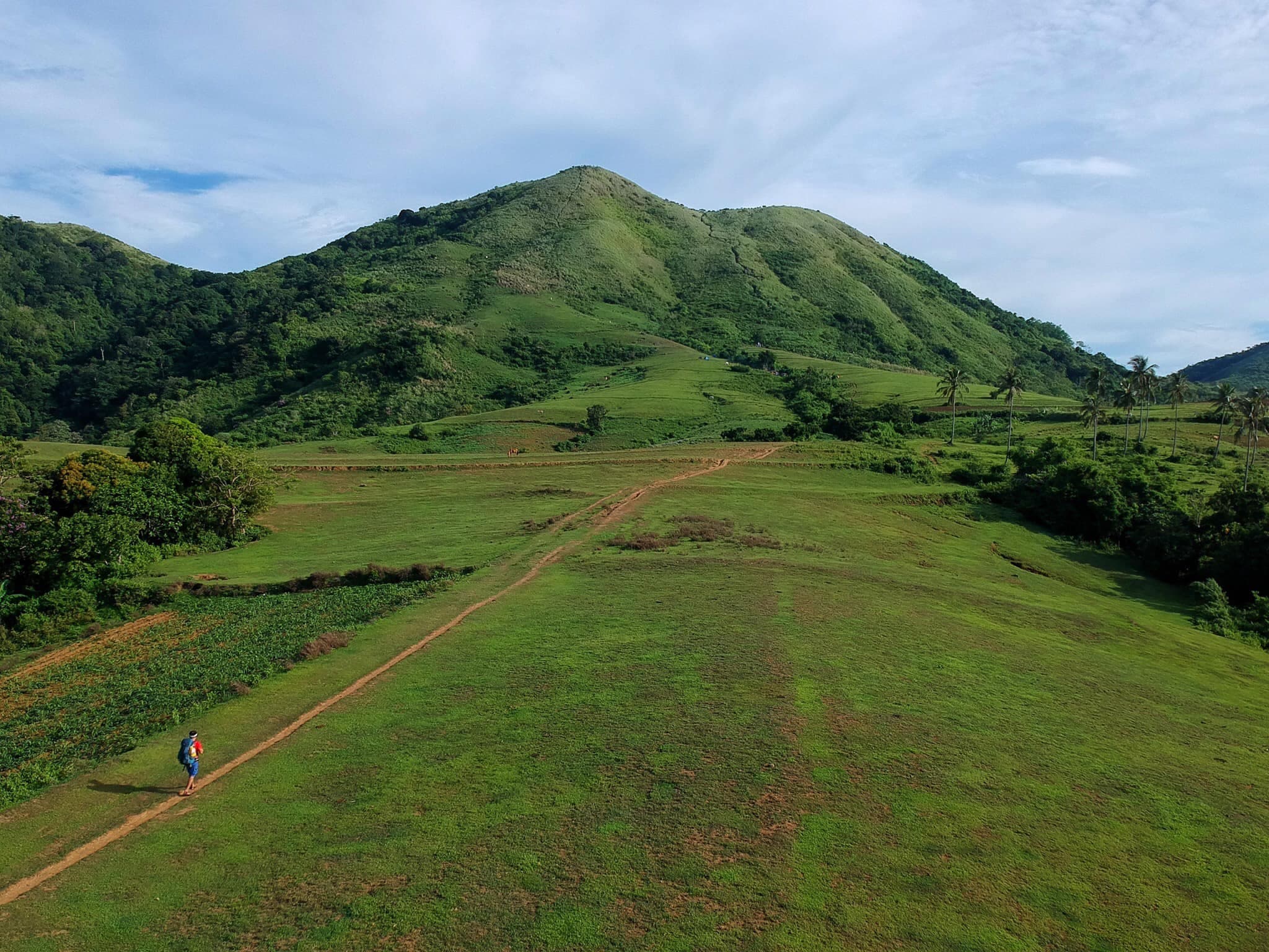
Easy
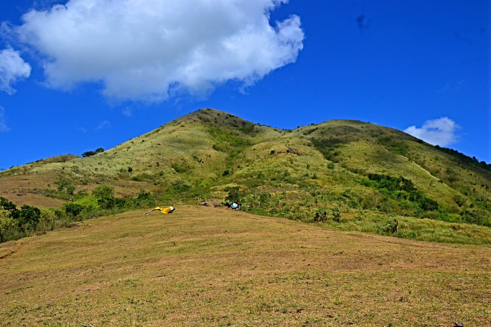
Mt. Talamitam
5.0(1)
Standing at 630 MASL, this mountain is known for its open trails and vast cogon grass fields. Ideally situated in Sitio Bayabasan, it offers a beginner-friendly climb with a 360-degree view of Batangas.
Nasugbu, Batangas